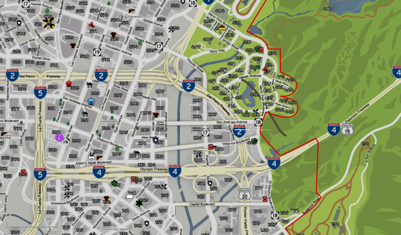
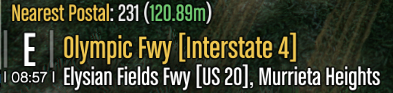
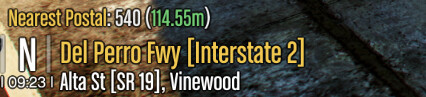
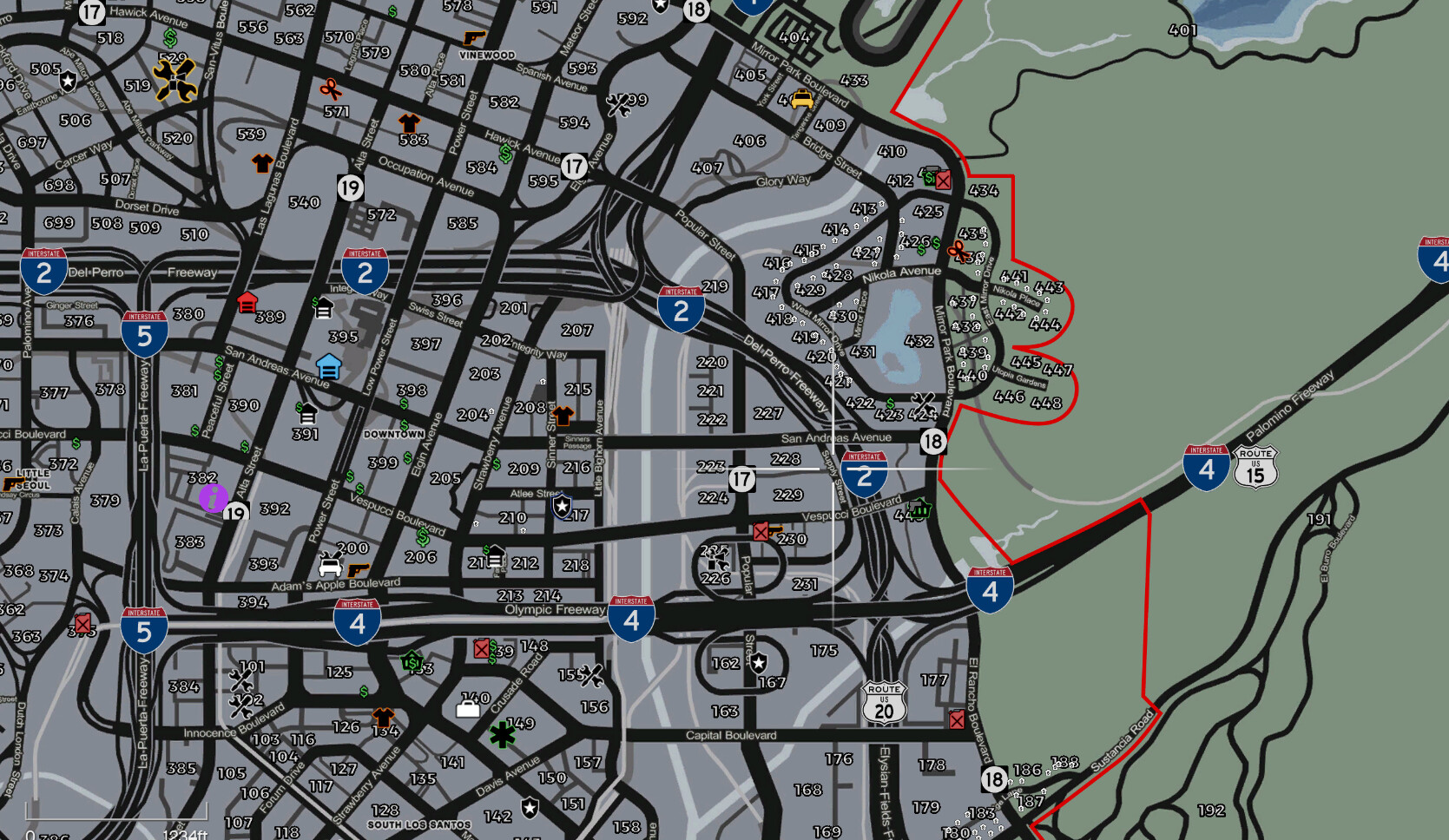
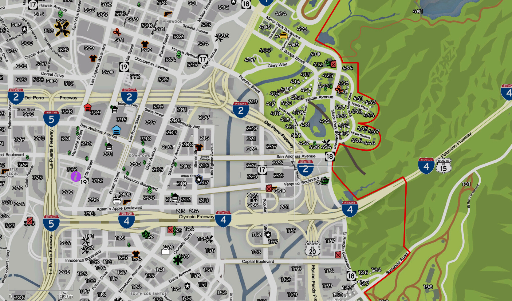
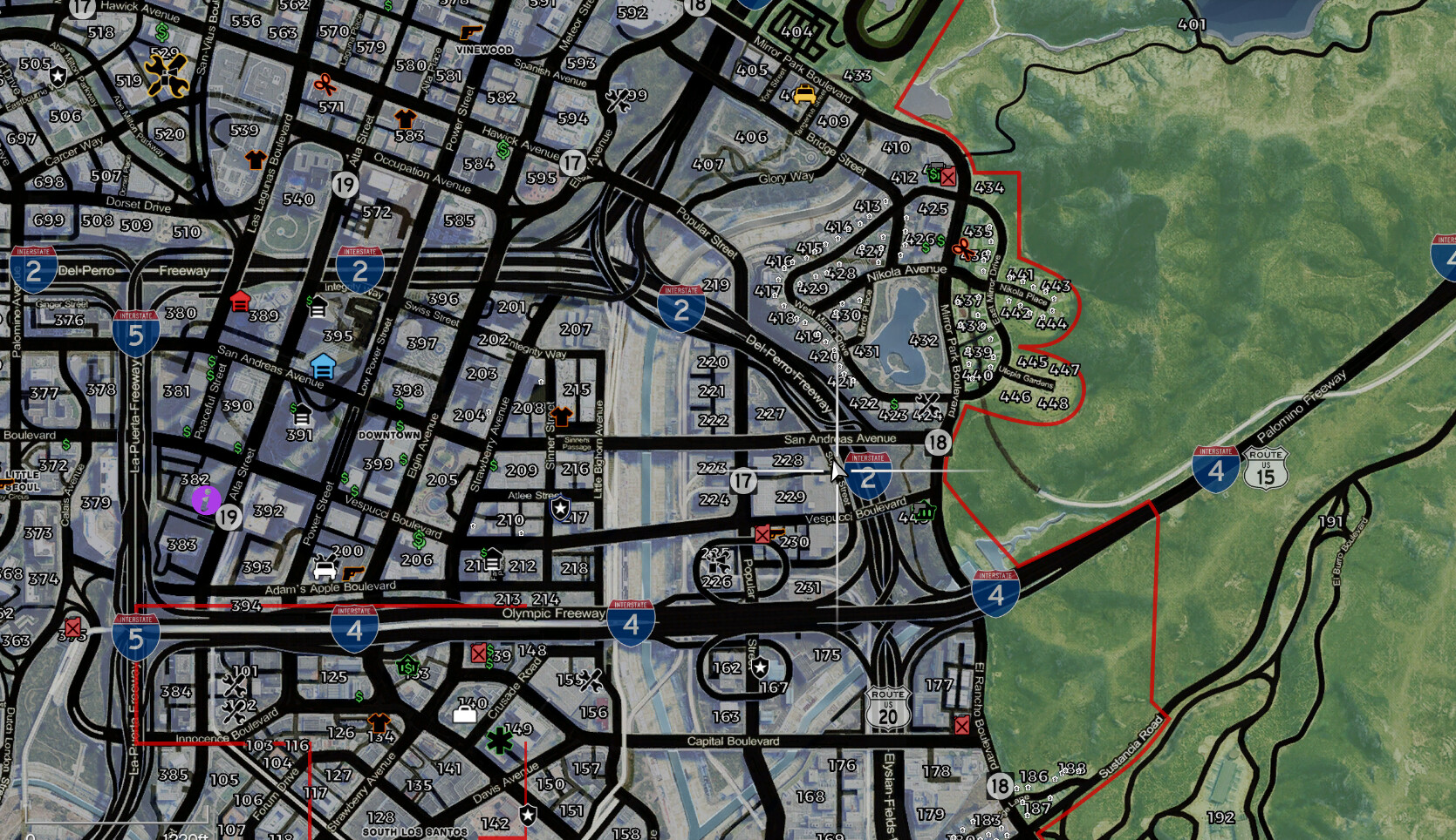
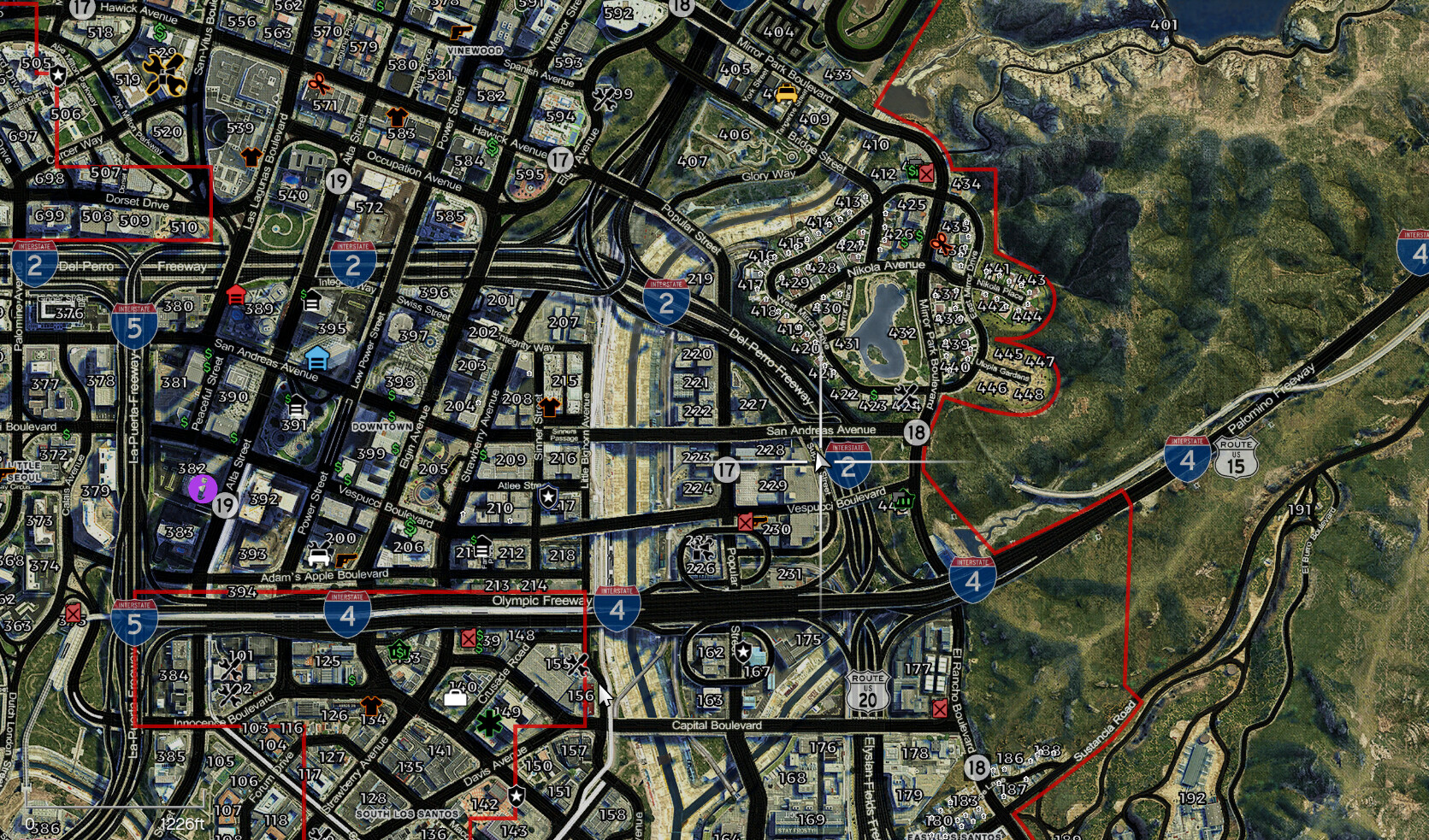
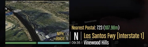
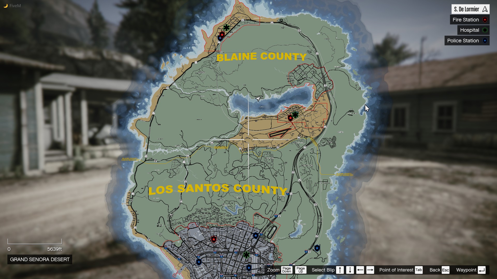
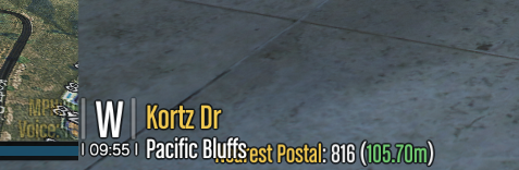
This is a Remake of the OCRP Postal’s map. It’s inspired by DOJ’s map along with details added by me such as a county line and city limits outlined on Grapeseed, Sandy Shores, Los Santos, and Paleto Bay. They have Interstate/Highway Sheilds for all Highways, Interstates, and Modern Highways across the map. There is also an edit to the Player Location Display just like DOJ’s for all Highways, Interstates, and Modern Highways, ie: What would normally say “Olympic Fwy” Says “Olympic Fwy [Interstate 4]”. Click here to download.
There are 4 variants to this map, Satellite, HD, Atlas, and a Road Map. You can see the differences here:
If you’ve downloaded the OCRP Postal Map you should replace .ytd files with the ones provided in the download. For the Player Location Display just drag and drop it into your resources folder and start the resource in your server.cfg
@GhostJustice20@cpt_xlr@megapihar Sorry for the late response. The minimap with OCRP’s HUD script is disabled on foot, if you would like to have your minimap while your on foot take the OCRP Hud script out. Sorry, Should have been more clear.