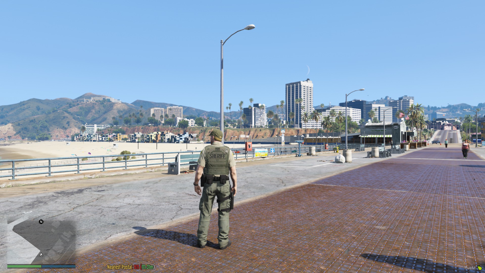
how do i move nearest postal close to map
the font used in the scripts need to support your language otherwise it will appear as a Square.
i don’t know how to change the fonts so i can’t help you with that.
but as an example the nearest postal script uses the gta fonts and believe me the gta fonts don’t support most languages.
Thanks a lot dude! Now I know where I need to search for the answer.
When I try to use the OCRP map and the nearest postal set to OCRP script the script breaks and the console in F8 says the cl.lua is broken. What do I do to fix this
thanks
Is there a call back to get the nearest postal for pedestrian. I want to use this in another script.
does this go into the server side directory
Is there a way to send this to the 911 plugin? The idea is to output the nearest postal in the 911 communication as well.
Noob here. Wanting to know what “terminal” is being referenced in this statement
Run the following command in a terminal
And is this only server side?
I downloaded and installed the nearest postal and ocrp map. I was able to get the map to show up by getting a mapzoom in fiveM. However I only have nearest postal displaying in game. The direction of travel and street names, and the mini map postals are not showing up.
Anyone have a clue how to fix?

I want to use the nearest postal in the new Sonoran CAD integration so that it shows the postal as well in the CAD when someone is doing a 911 or panic button, or even just the standard unit location but there is no manual about how to add or link the nearest postal script into it.
Any one of you have an idea about how to call up the nearest postal there?
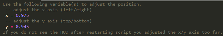
@Prolectric where are the cords to change the Nearest Postal location? is it vMenu PLD or Scripthook PLD?
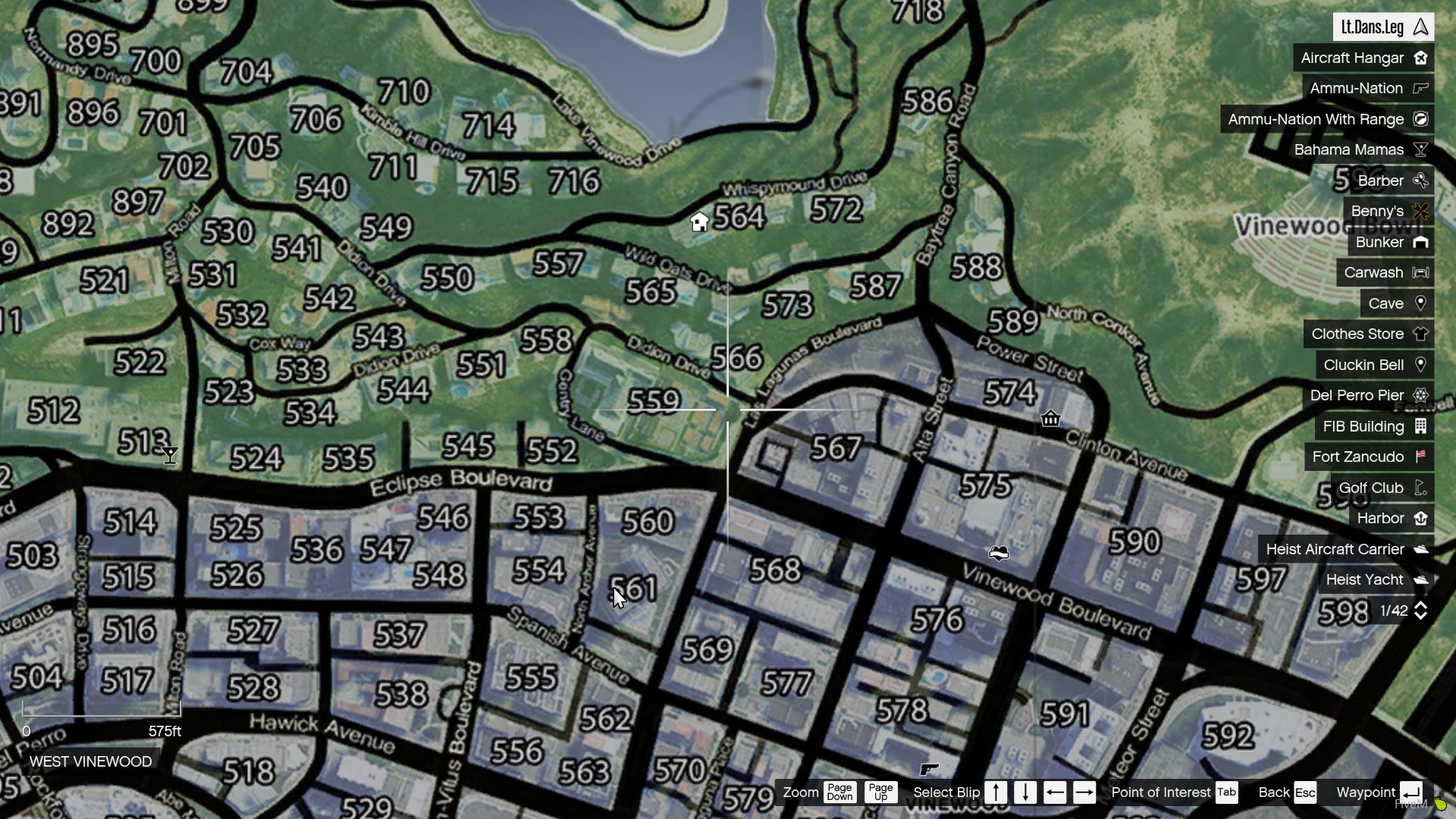
I have a custom postal code map for my community that I will try to edit this resource for. I understand I have to get the coordinates of each postal code in order to put them in the resource. So my question is are the coordinates to get the postals XYZ? or XYZH?
and how the fuck do you add this? to beginners this is fucking mission impossible
1 Like
Where can i find that PLD? The one i have right now overlaps the nearest postal.
You most likely would have to manually go into your PLD code and change the coordinates of the PLD on the screen. I was able to make it change the position to this: screenshot
[HELP] The postals won’t show up my on screen, not sure why. The files been installed correctly. I’m currently using the OCRP map.
where did you get the | S | O’Neil Way ?