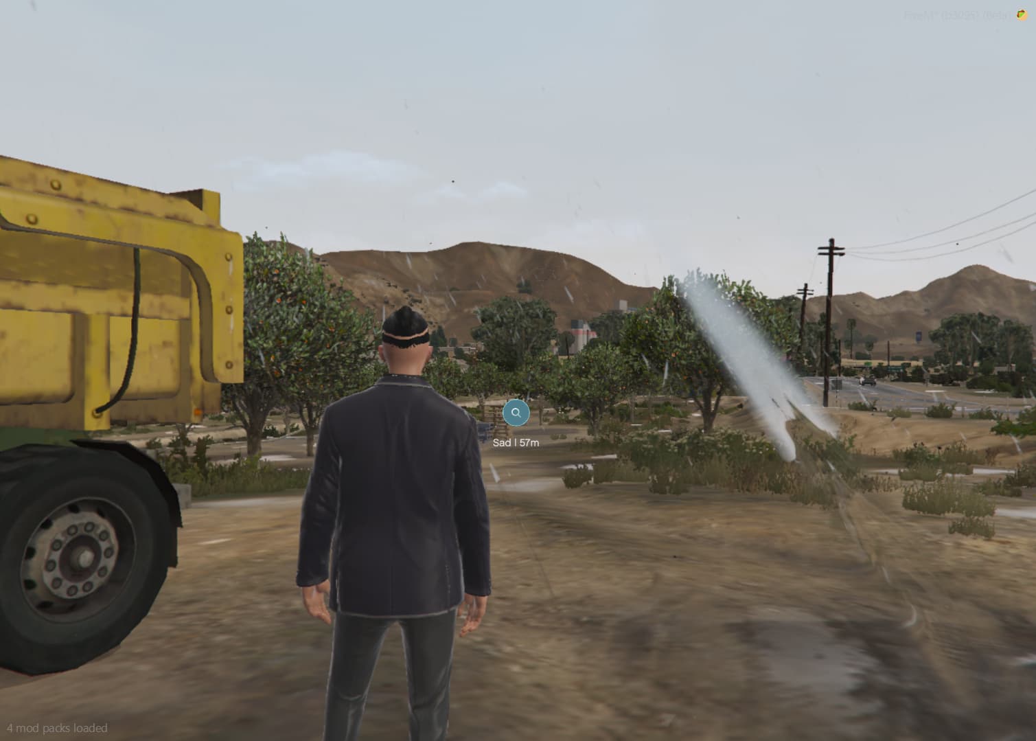
Simple fivem script for creating helpful markers on the map in the game making gameplay easier and looking nice
local coords = vec3(2281.5424804688, 4813.0190429688, 55.574935913086 - 1.0)

while true do
    local playercoords = GetEntityCoords(PlayerPedId())
    local dist = #(coords-playercoords)
    local metry = math.ceil(dist * 1)
    exports['shinyx-HelpWaypoints']:DrawDestination(coords, "Example", metry)
    Wait(0)
end
5 Likes
Hello, cool but the direction doesnt work
1 Like
while true do
local playercoords = GetEntityCoords(PlayerPedId())
local dist = #(coords-playercoords)
local metry = math.ceil(dist * 1)
exports[‘shinyx-HelpWaypoints’]:DrawDestination(coords, “Example”, metry)
Wait(0)
end
Now it should work
1 Like
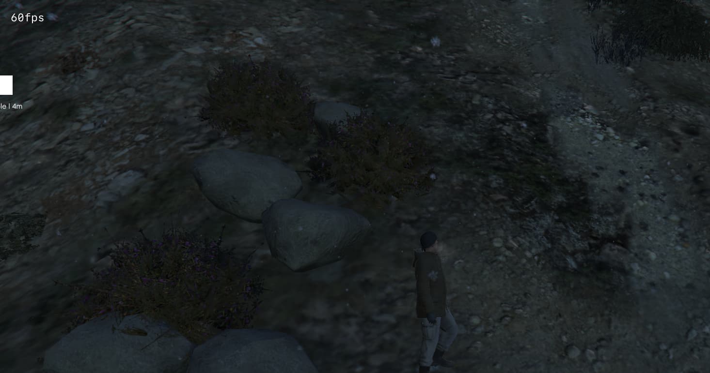
No  i see a white rect on the side of screen, also if the coordinates is in front of me
1 Like
Oh now i see the texture! But for me is ever on the side of screen, i nevere see it in front of me like your screen (when im near the point)
r u sure that you put right coordinates?
Yes, I try also with more cords I had in other scripts, nothing. 
very buggy, had to remake most of the code but other than that its nice
CreateThread(function()
    RequestStreamedTextureDict('texture', true)
    while not HasStreamedTextureDictLoaded('texture') do
        Wait(0)
    end
end)

exports('DrawDestination', function(coords, label, meters)
    DrawDestination(coords, label, meters)
end)

function DrawDestination(coords, label, meters)
    coords = vector3(coords.x, coords.y, coords.z + 1)
    local success, X, Y = GetScreenCoordFromWorldCoord(coords.x, coords.y, coords.z)
    if success then
        local icon_size = 1.5
        local text_size = 0.25

        if HasStreamedTextureDictLoaded('texture') then
            DrawSprite("texture", "e-key", X, Y - 0.015, 0.018 * icon_size, 0.025 * icon_size, 0.0, 255, 255, 255, 255)
        else
            print("Error: Texture dictionary 'commonmenu' not loaded!")
        end
        SetTextCentre(true)
        SetTextScale(0.0, text_size)
        SetTextEntry("STRING")
        AddTextComponentString(label .. " | " .. meters .. "m")
        DrawText(X, Y + 0.015)
    else
        print("Warning: Coordinates cannot be converted to screen position.")
    end
end

-- Example waypoint thread
CreateThread(function()
    local coords = vec3(725.287415, -1422.674316, 31.422318 -1)

    while true do
        local playercoords = GetEntityCoords(PlayerPedId())
        local dist = #(coords - playercoords)
        local meters = math.ceil(dist)

        exports['shinyx-HelpWaypoints']:DrawDestination(coords, "Example", meters)
        Wait(0)
    end
end)
Here u go man 
Quite cool, I optimized the code more and made it go along with using waypoint on map so players will have kinda like Forza style waypoint with beam and indicator, cool starting point, still needs better codding but yeah if someone knows what to do with it it’s quite cool to use.