Does anyone know how i could change it so that the postal only show with a command ex. /p me so it is not always on the screen
1 Like
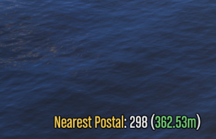
It didn’t work for me. I installed both nearest postal map + street labels scripts, but the map stays black (default). Only thing that shows up is the nearest postal code in the bottom.
If you’re using this and want a “fix” for the missing postal (due to double use of 139) in the OCRP postals add:
{“code”:“100”,“y”:-1267.01,“x”:288.83},
To the postal list.
I provided some fixed ytd files here: OCRP Postal and Minimap (Server Side) - #82 by Noor_Nahas
1 Like
So I’m having a problem getting the text on there I want what is shown under text but all I got is this
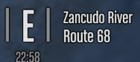
Is there a way to move the street and time to the top. ( | E | Zancudo River, Route 68)?
Also is there a way to set up a chat command for /p to have both /postal and /p then the actual postal?
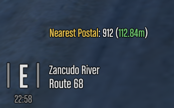
All mine shows is the nearest postal how do I get it to show the street and direction of travel like the picture on the top of the post shows
I’ve submitted a Pull Request to the GitHub repo that will allow players to add new postals, if desired (with the caveat that it is dependent on ESX). This would primarily benefit those who use postal maps that do not support Nearest Postal.
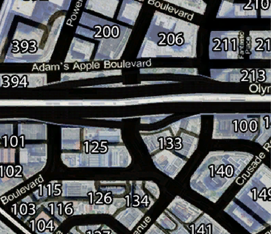
My favorite postal map, but how can i remove the bunker markers?
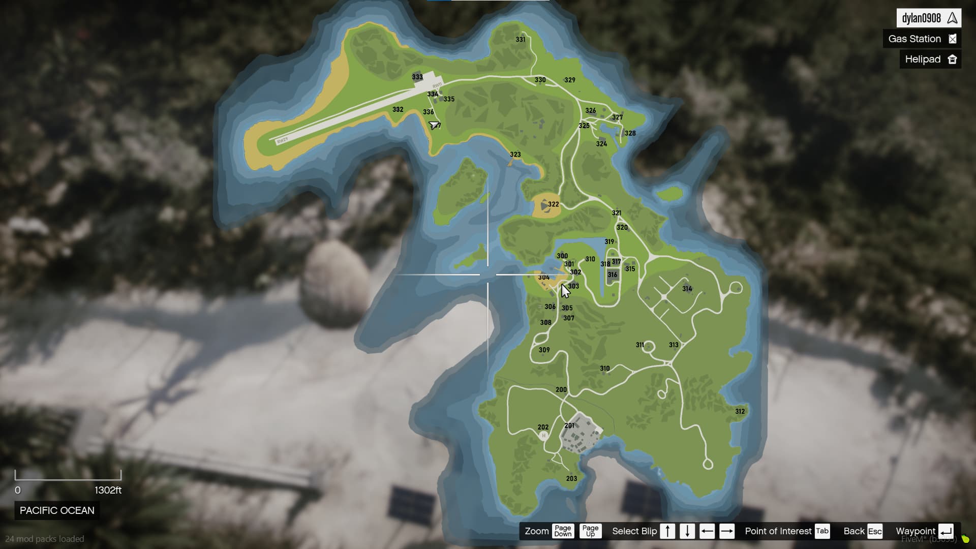
how would we go about adding the roxwood map?
1 Like
Which PLD is shown in picture?
For those of you interested, and looking for Cayo Perico Postals. CHECK THIS OUT! I made a postals version Cayo Perico with Map4All’s approval and with nearest-postal script support!
1 Like
![]()
NICE!!
i use the ocrp map and for some reason the /postal does not work unless i restart the resource manually while i am in the server and i have to do this for every player while they are in game. If they fly out and back in then it stops working like it resets to a different map please help !!!
did you ever find something for this?
I very much want to remove the display of the postal and just have the ability to use it as a command.
check player loaded event for your framework at the start of files
Is there a way to utilize the player postal number provided by this script in an external script?
If you don’t have one,
- Can I modify the script to share the Postal number as an external script, and use it in an external script?
- Can I use the ocrp-postals.json file in my personal script? (commercial or personal)
Does anyone have a version of the postals using oulsens satmap postals, that also includes the postals for roxwood?